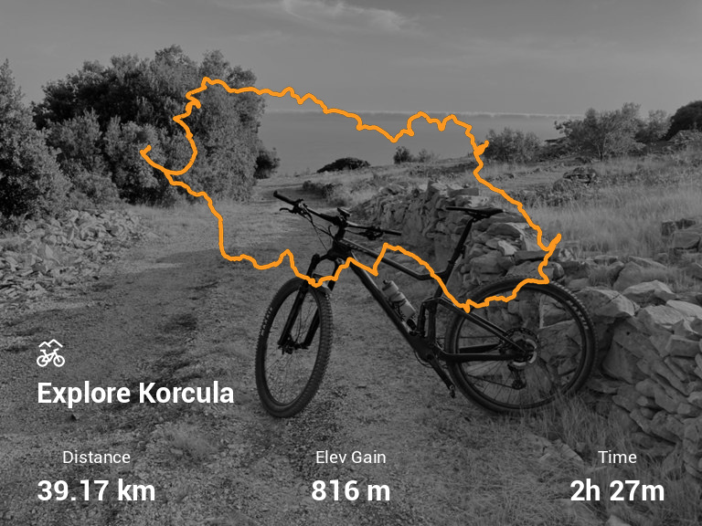
Explore Korcula
Info
- Date: 2021-08-09
- Distance: 39.17 km
- Elevation Gain: 816.0 m
- Moving Time: 2:27:39
- Elapsed Time: 2:36:15
- Explore Korcula on Strava
Map
Description
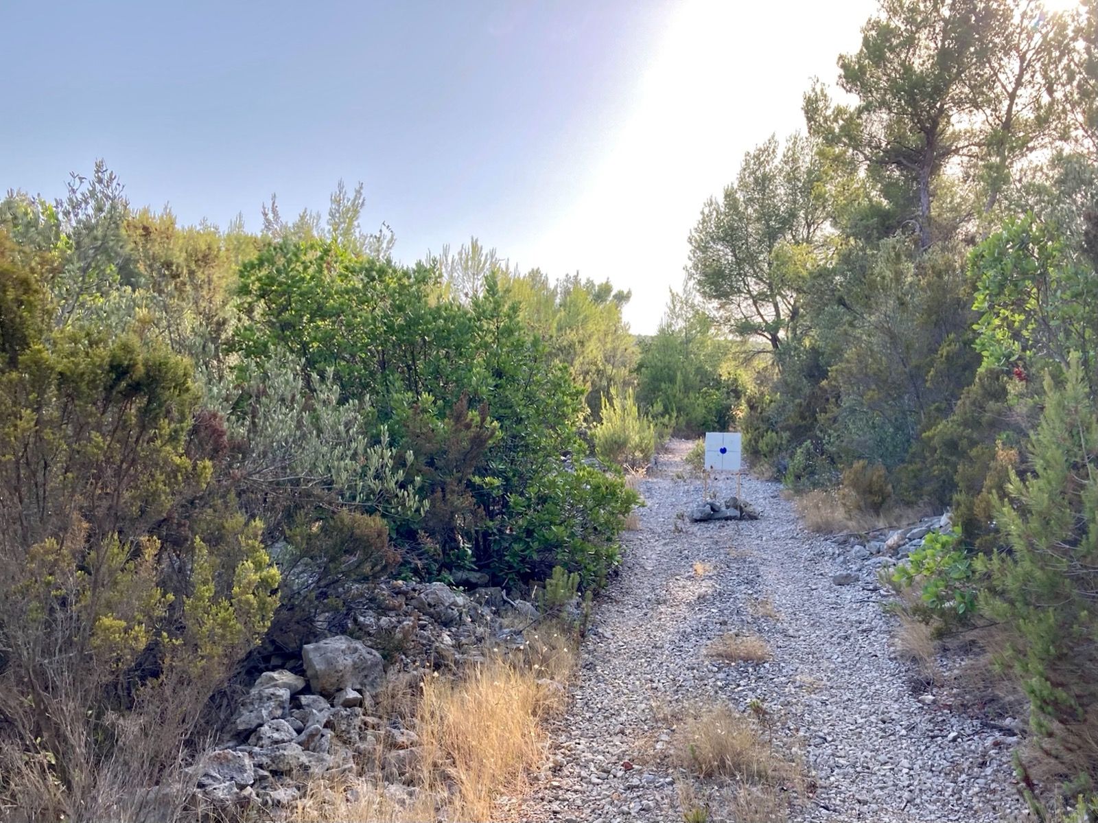
Strava has outdone itself with auto route planning. Still a lot of paved roads that are stated as unpaved paths, but lets be honest, it is nice to pedal up the smooth path once in a while. Be careful when picking up the “hilly” option, as it ruthlessly takes you wherever. Obvious example is the ascent to Zmija brdo (snakes hill), pretty technical and rocky uphill that leads you to a path that once was. Downhill would be a great singletrack if it was not for the bushes and branches of local flora that hits hard and makes all of your uncovered parts of the body bleed. Also, the Pupnat uphill ends in some kind of unmarked fenced establishment. I had no more will to take the planned route down to the shore, so picked the paved one instead.
Photos
Data parsed automatically from Strava using Strava2.md
Data acquired with GARMIN hardware.