Imaginary Central Park Loop
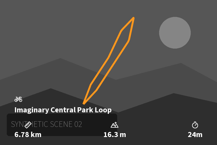
Info
- Date: 2026-09-20
- Distance: 6.78 km
- Elevation Gain: 16.3 m
- Moving Time: 0:24:00
- Elapsed Time: 0:24:00
Map
Tap map to interact
Description
A fictional city ride through the Central Park area, created to demonstrate the FIT, photo, and cover-overlay pipeline. The track follows invented waypoints; it is not a recorded or navigable route.
All three pictures are computer-drawn illustrations. Their capture times and GPS coordinates are synthetic and placed along the example track. No real person’s activity, camera data, or home location is included.
Photos



Data parsed automatically from a FIT file using ride2md